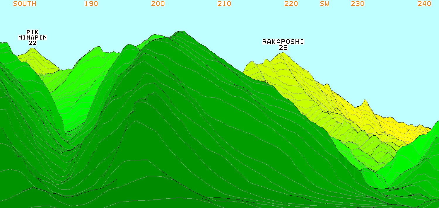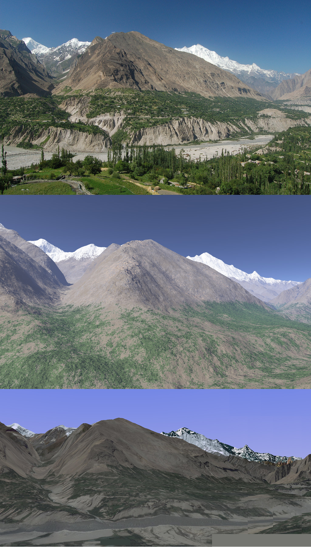
Views from near Karimabad (also known as Baltit), Hunza valley, Pakistan, to Rakaposhi. The three layer image, assembled by Giel Swager, shows a photograph, an image generated using Terragen and High Asia DEM data, and another extracted from Google Earth.
The precise viewpoint coordinates are 36.320327 N, 74.666320 E.