This section has moved to http://www.viewfinderpanoramas.org/panoramas.html
This can be supplied for much of the world. Prices for non-commercial use are based on media and reproduction costs, currently set at £5 per CD(670MB), £10 per DVD(4GB), plus p&p and adminstration. As a guide, the 1:200,000 sets run to a total of about about 40GB.
The coverage maps show available inland areas in blue and coastal areas in red. Other areas will become available when I have sorted and referenced more of my digital map inventory. My thanks to Trond Nesøen of Fredrikstad, Norway for creating these maps.
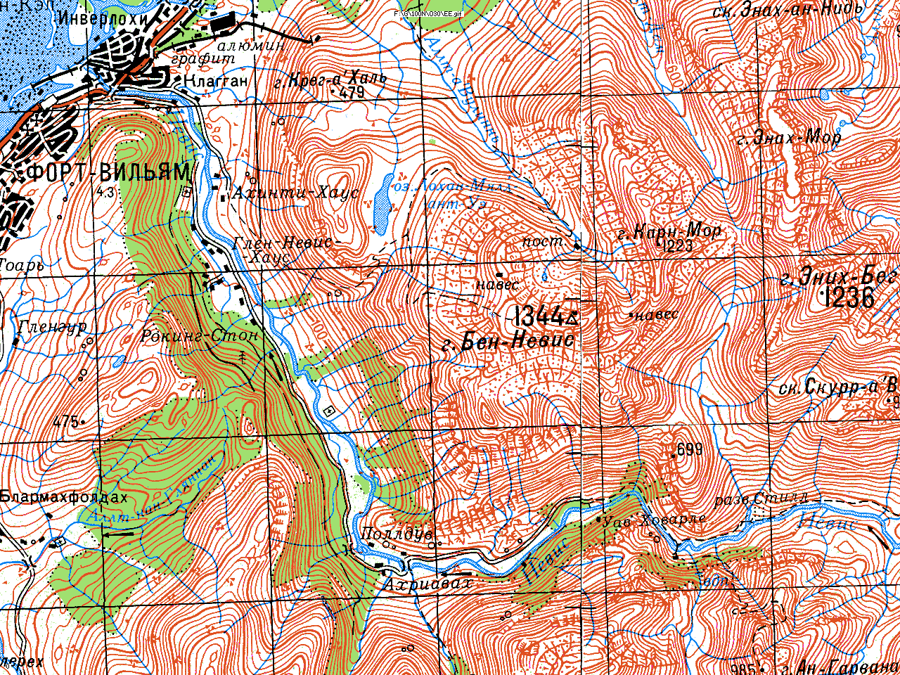
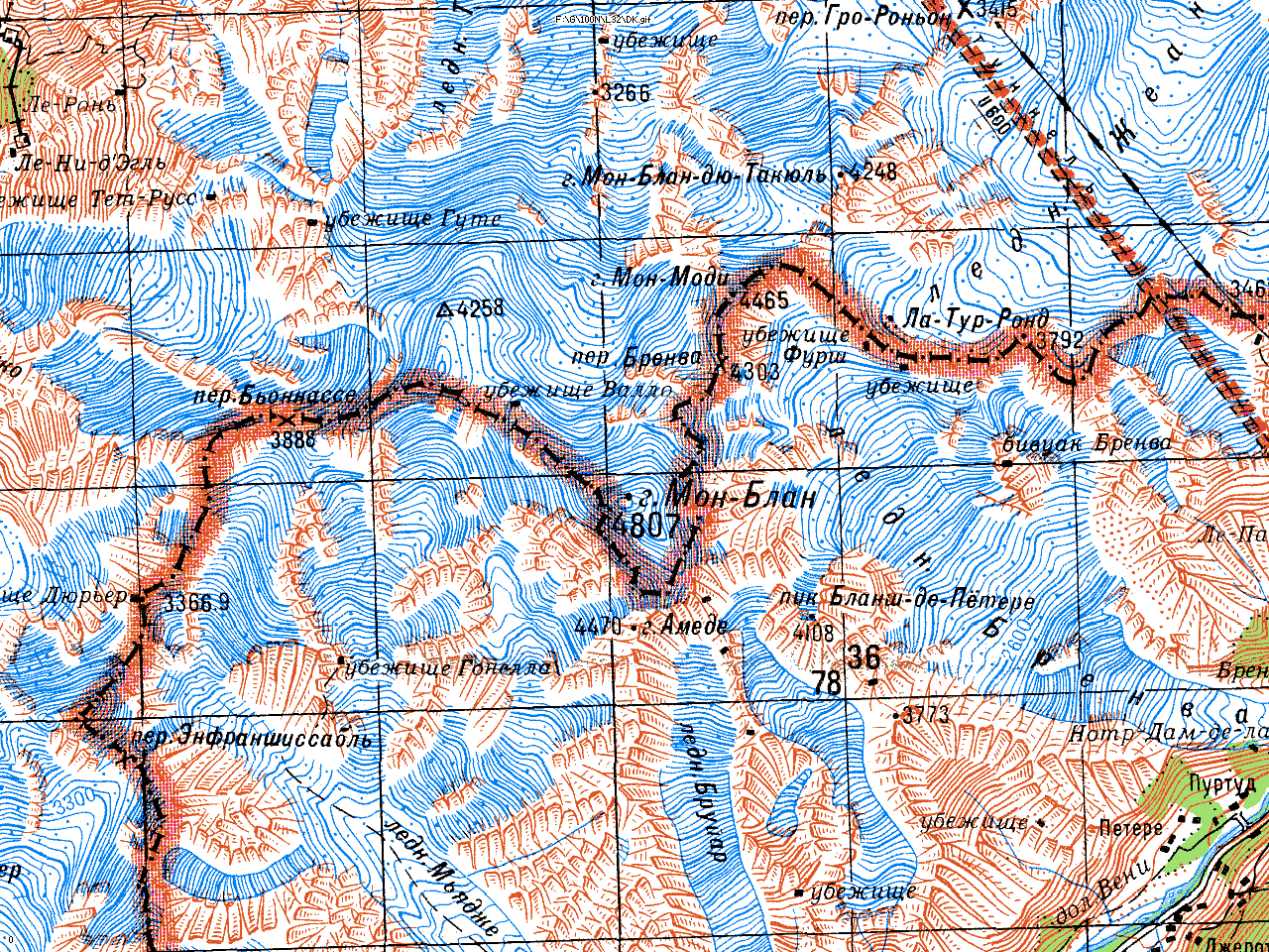
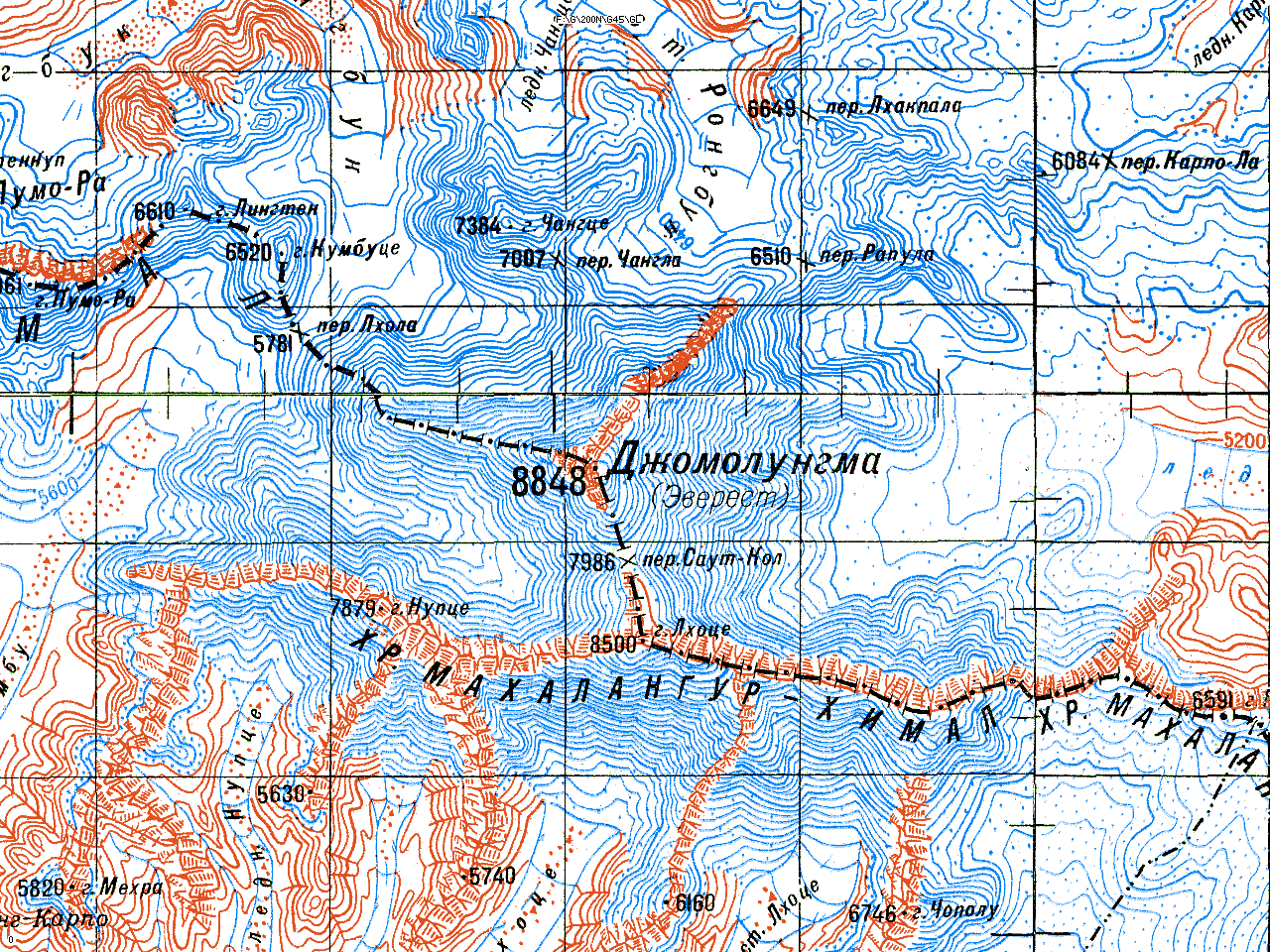
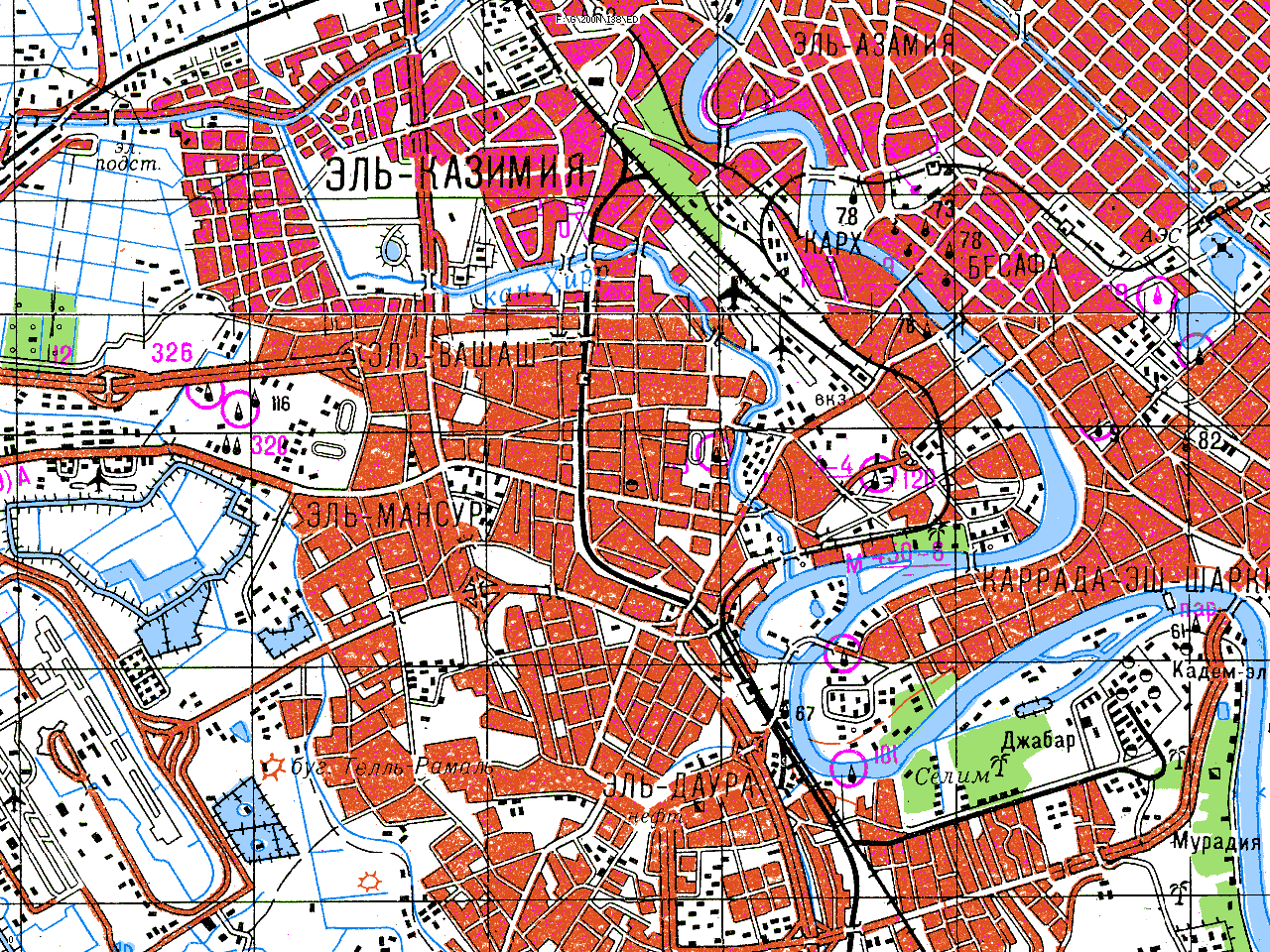
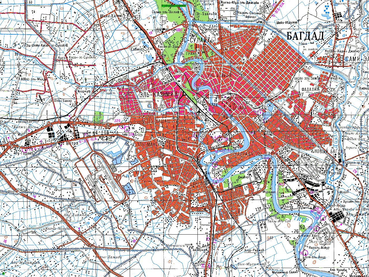
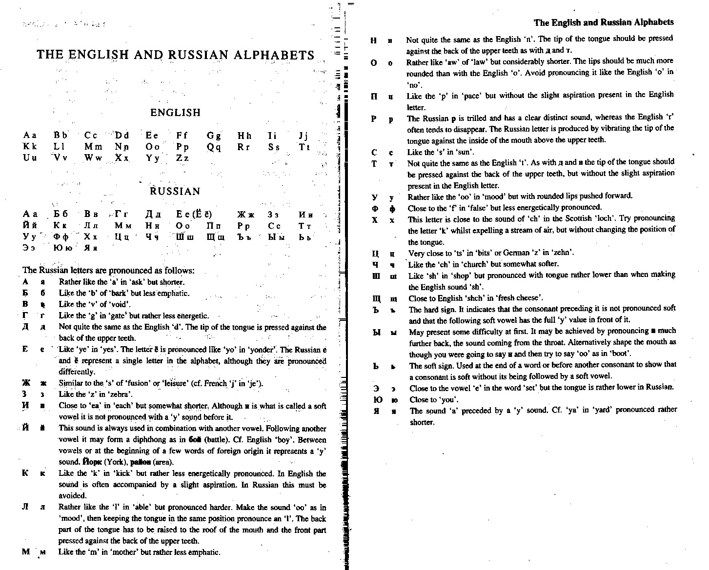
The above sets are available in indivisible 6 x 4 degree folders. The file sizes, which are small enough to allow legible A4 printing, vary; for the 1:200,000 set it is 30'x20', i.e. 12x12=144 files per block. Other than the USA, the sets are based on Soviet military mapping and are in Russian. A guide to the Russian alphabet is supplied. Software to enable smooth scrolling between files, including across UTM boundaries, and interact with the DEMs (see below), is also available, but may not be easy to use.
More information: maps and folders software.
Sample downloads:
Other sets, including the USA at
1:24,000 and 1:100,000, Canada/Australia at 1:250,000 may be available to non-commercial users on a limited basis but these sets are subject to copyright
restrictions. DIGITAL ELEVATION MODELS These are matrices of 16-bit elevations, in metres relative to sea level. The following sets are available: DEM Downloads . Download 1°x1° tiles in SRTM format. Contain 1201x1201 16-bit elevation cells, resolution 3". Similar to SRTM but with no-data areas filled from other sources.
GAZETTEERS
Global, detail compatible with 1:250,000 or
better, but in some areas accuracy is no better than about 1km. Available in 6x4
degree blocks. Based on USGS GNIS. Global file size approx 900MB.
A complete gazetteer of over 20,000 summits in the Alps, including accurate coordinates and elevations, can be downloaded here. Documentation for the fields used in this file can be downloaded here.
Special gazetteers, ranking mountain summits in
order of prominence, i.e. drop separating them from higher summits, can be downloaded here.